|
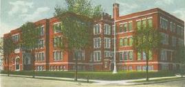
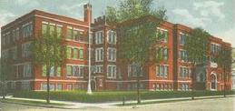
North High School
Class of 1966
| |
 |
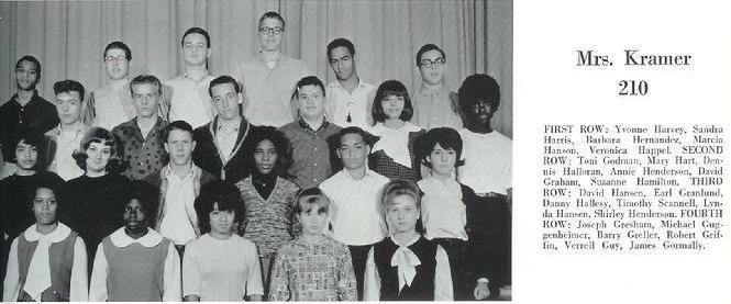
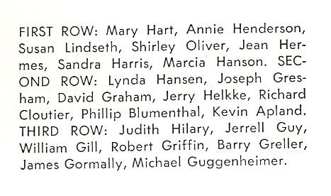
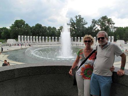
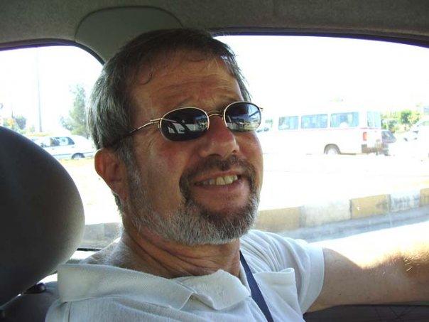
| Michael Guggenheimer |
|
|
 |
| Michael Guggenheimer |
|
|
Michael, I'm looking for a new Class photo!
Post it on Facebook or send it to me.
|
|
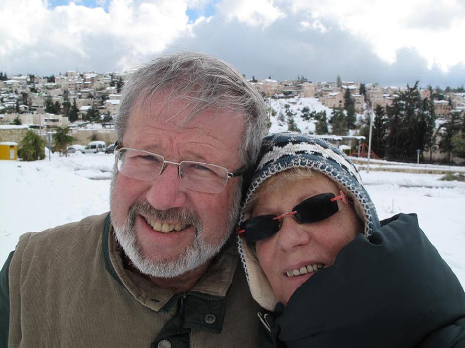 |
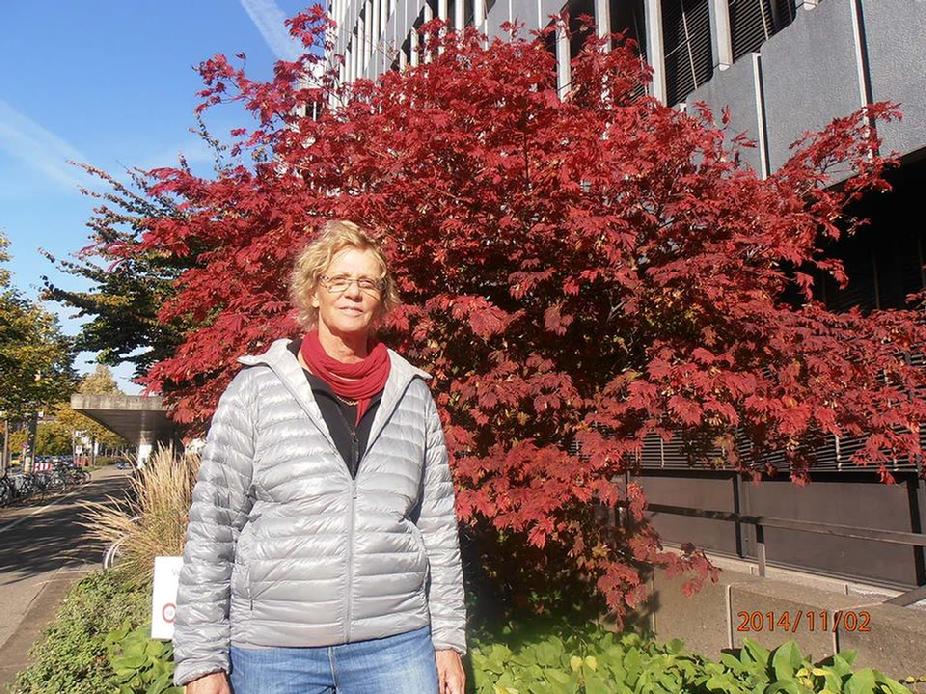
| Michael & Edna Guggenheimer |
|
|
|
Biography
Michael Guggenheimer
from the Class of 1966
|
|
Last Update: 6/8/2019
|
|
|
Status
|
Located |
|
Location
|
Mevasseret Ziyyon, Yerushalayim, Israel |
|
Email
|
|
|
Personal Website
|
|
|
Business Website
|
|
|
Photo Website
|
|
|
Birthday
|
May 16, 1948 |
|
Spouse/Partner
|
Married to Edna Guggenheimer January 10, 2001
|
|
Children
|
(3) Haggai Guggenheimer Son, Mirit Guggenheimer Daughter &
Yair Guggenheimer Son
|
|
Employer
|
Arabic language teacher at NYU Tel Avivand Arabic language teacher atInternational School, Tel-Aviv University
|
|
Facebook
|
Yes Click Here |
|
Biography
|
Studied Semitic languages, Arabic at Bar-Ilan University,
IDF Various · August 1970 to May 1992 - Bar-Ilan University
Class of 1970 · Semitic languages, Arabic · Ramat Gan
|
|
PRIVACY NOTICE:
Warning--any person and/or institution and/or Agent and/or Agency of any governmental structure including but not limited to the United States Federal Government also using or monitoring/using this website or any of its associated websites, you do NOT have my permission to utilize any of my profile information nor any of the content contained herein including, but not limited to my photos, and/ or the comments made about my photo's or any other "picture" art posted on my profile. You are hereby notified that you are strictly prohibited from disclosing, copying, distributing, disseminating, or taking any other action against me with regard to this profile and the contents herein. The foregoing prohibitions also apply to your employee(s), agent(s), student(s) or any personnel under your direction or control. The contents of this profile are private and legally privileged and confidential information, and the violation of my personal privacy is punishable by law.
|
 |
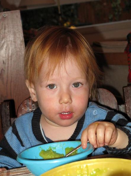
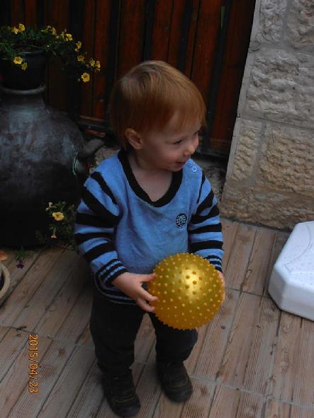
| Haggai Guggenheimer Son, Mirit Guggenheimer Daughter & Yair Guggenheimer Son |
|
|
 |
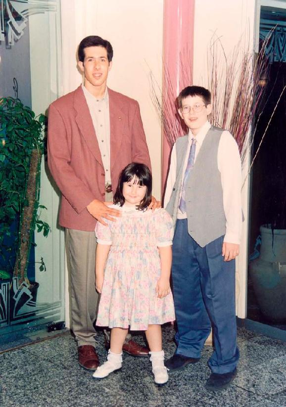
| 1964 |
|
|
|
| 1965 |
|
|
 |
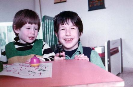
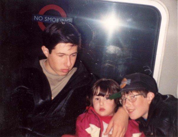
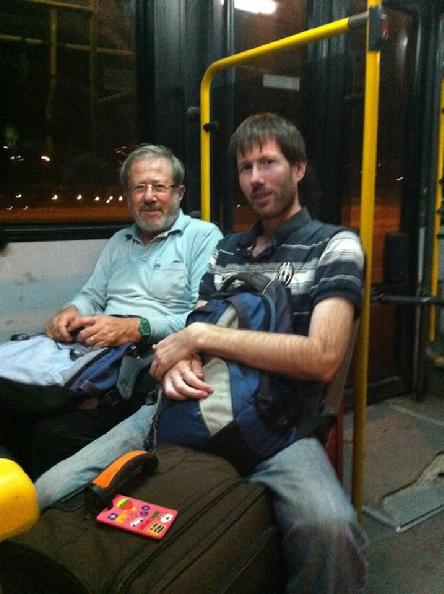
| Michael Guggenheimer and Myron Joshua |
|
|
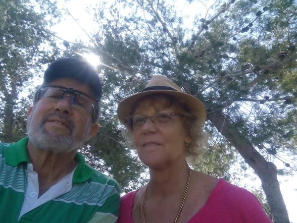 |
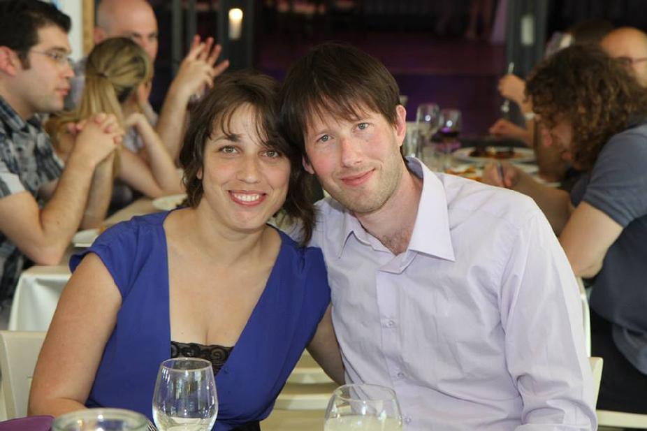
| Michael & Edna Guggenheimer |
|
|
|
Click to Listen To The Music!
"Thank You For Being A Friend"
by Andrew Gold
|
Michael, Thanks for being A Friend!
مايكل ، شكرا لأنك صديق
maykil , shukraan li'annak sadiq
|
Thank you for being a friend
Traveled down the road and back again
your heart is true you're a pal and a confidant
I'm not ashamed to say
I hope it always will stay this way
My hat is off, won't you stand up and take a bow
And if you threw a party
Invited everyone you knew
You would see, the biggest gift would be from me
and the card attached would say,
Thank you for being a friend
I'm not ashamed to say
I hope it always will stay this way
My hat is off, won't you stand up and take a bow
And when we both get older
With walking canes and hair of gray
Have no fear, even though it's hard to hear
I will stand real close and say,
Thank you for being a friend
And when we die and float away
Into the night, the Milky Way
You'll hear me call, as we ascend
I'll see you there, then once again
Thank you for being a friend!
~~~~
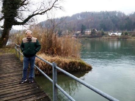
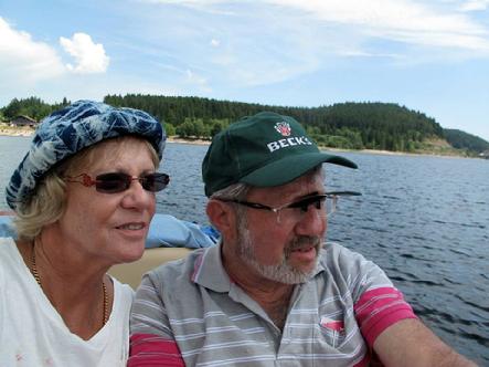
Michael & Eda Guggenheimer
On a boat on the Schluchsee
July 2013
~~~~~
|
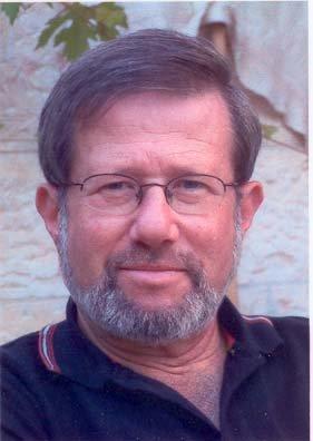 |
| Michael Guggenheimer |
|
|
 |
| Michael & Edna Guggenheimer |
|
|
 |
| Haggai Guggenheimer |
|
|
 |
| In Mevasseret Ziyyon, Yerushalayim, Israel April 24th, 2015 |
|
|
 |
| Haggai Guggenheimer |
|
|
 |
| On the cable car to the Niederwalddenkmal in Ruedesheim am Rhine — with Edna Guggenheimer and Haggai Guggenheimer at Ruedesheim. |
|
|
 |
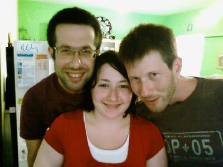
| Michael Guggenheimer & Haggai Guggenheimer. |
|
|
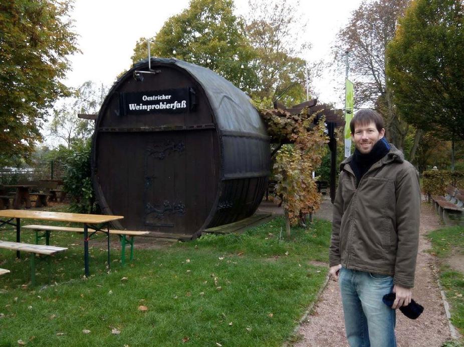 |
| Wine tasting bar, Oestrich — with Haggai Guggenheimer at Oestricher Weinprobierfas |
|
|
 |
| Haggai Guggenheimer - March 17, 2015 |
|
| |
 |
| Adva Guggenheimer and Haggai Guggenheimer |
|
|
 |
| Mirit Guggenheimer |
|
|
 |
| Mirit Guggenheimer February 29th, 2016 |
|
|
 |
| May 16th, 2016 |
|
|
Michael Guggenheimer
PLACES LIVED
|
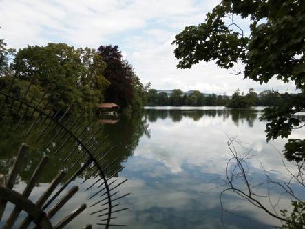
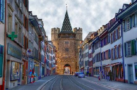
Basel, Switzerland
Michael's Hometown
Moved on May 28, 1948
|
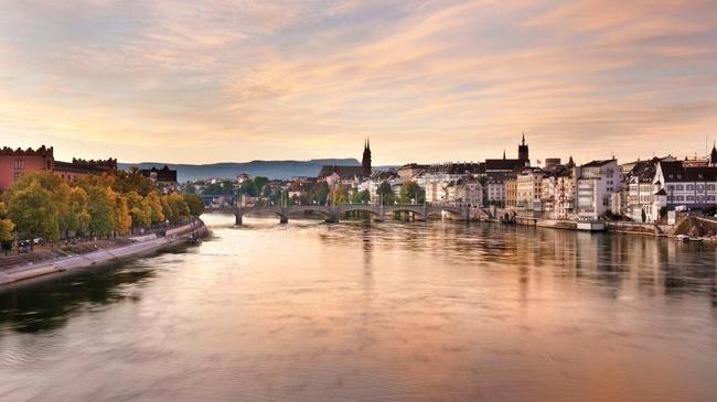 |
| Basel is a city on the Rhine River in northwest Switzerland, close to the country’s borders with France and Germany. Its medieval old town centers around Marktplatz, dominated by the 16th-century, red-sandstone Town Hall. Its 12th-century Gothic cathedral has city views, and contains the tomb of the 16th-century Dutch scholar, Erasmus. The city’s university houses some of Erasmus’ works. Click the photo for the Map... |
|
|
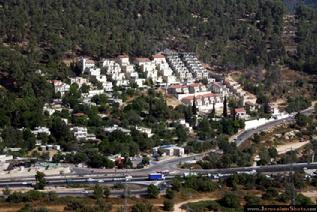
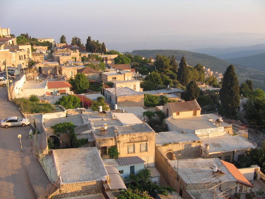
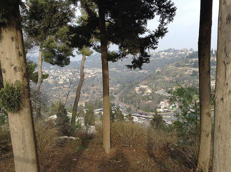
Mevasseret Ziyyon, Yerushalayim, Israel
Current city
|
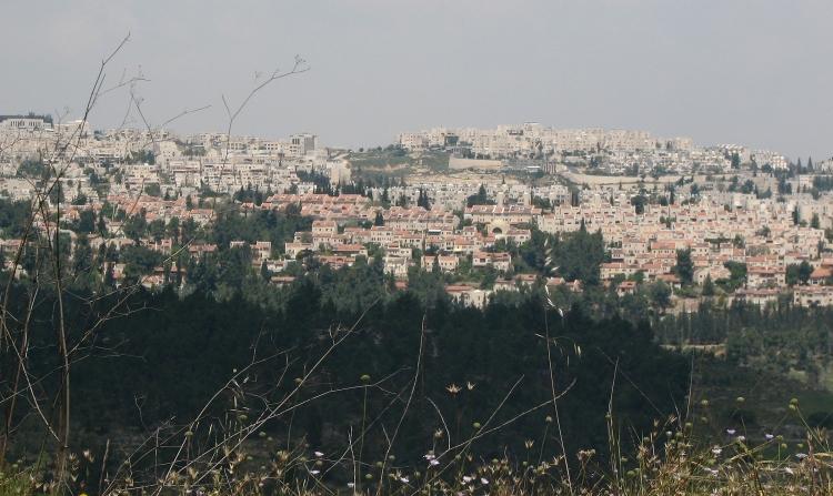 |
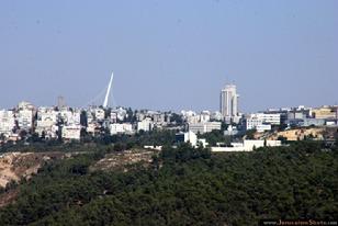
| View of Mevaseret from Rekhes Halilim Click Photo for the Map.... |
|
|
Mevasseret Zion (Hebrew: מְבַשֶּׂרֶת צִיּוֹן) is a suburb of Jerusalem, Israel. Mevasseret Zion is composed of two distinct townships, Maoz Zion and Mevasseret Yerushalayim—under the jurisdiction of one local council. The newer neighborhoods of Mevasseret Zion were not part of either settlement.
Mevasseret Zion is located on a mountain ridge 750 meters above sea level, on the outskirts of Jerusalem. It is ten kilometers from the city, straddling both sides of the Jerusalem–Tel Aviv highway. It has a population of 22,800 residents distributed over 15 neighborhoods. It is the wealthiest municipality per capita in the Jerusalem District. Mevasseret Zion's current Mayor is Yoram Shimon.
History
|
Castel area
Due to its strategic location, settlement in the area of Mevasseret Zion goes back to antiquity. The Romans built a fortress there, known as Castellum. On the ruins of this fortress, the Crusaders built a castle, Castellum Belveer, of which no trace remains. Belveer is mentioned in a letter from Eraclius, Patriarch of Jerusalem, dated September 1187, in which he describes the slaughter of Christians "by the sword of Mafumetus the Unbeliever and his evil worshipper Saladin" and the Arab conquest of the town, which was renamed al-Qastal.
During the British Mandate of Palestine, the British referred to this district as "The Castle". The Arabs called it "al-Qastal", pronouncing the "t." The Jews called it "HaCastel" ("the Castel").
In the 1948 Palestine War, battles took place here as Arabs and Jews fought for control of Qastal, which overlooked the main Tel Aviv-Jerusalem highway. Qastal exchanged hands several times in the course of the fighting. The tides turned when the Arab commander Abd al-Qadir al-Husayni was killed. Many of the Arabs left their positions to attend al-Husayni's funeral at the Al-Aqsa Mosque on Friday, April 9. That same day, Qastal fell to the Yishuv forces, virtually unopposed.
Maoz Zion
|
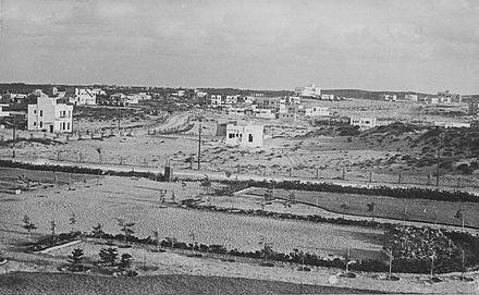
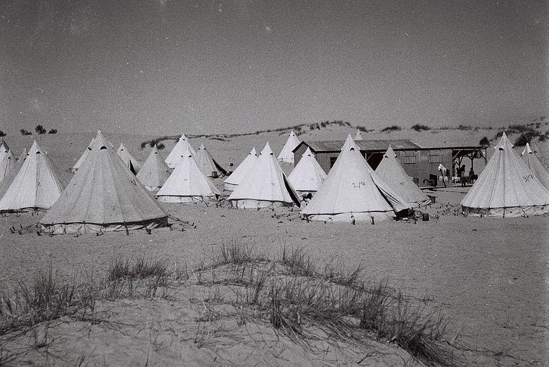
Maoz Zion ("Stronghold of Zion") was established in 1951 to house new immigrants from Iraq, Kurdistan, North Africa and Iran who had been living in a ma'abara, or transit camp, at the foot of the Castel. Many were employed at the nearby Solel Boneh stone quarry.
|
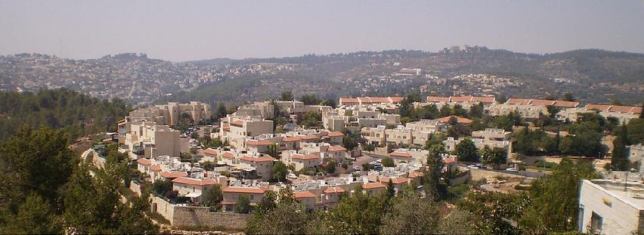 |
| Maoz Zion panorama |
|
|
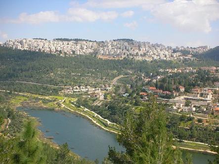
 |
| View of Maoz Zion from Castel National Park |
|
|
 |
| Color of the City |
|
|
Official logo of Mevasseret Zion
|
Mevasseret Yerushalayim was established east of Ma'oz Zion in 1956 by Jewish immigrants from North Africa. It was located on a ridge near the armistice line, north of Motza. The residents worked in the fruit orchards in the Arazim Valley.
Unified local council
In 1963, Maoz Zion and Mevasseret Yerushalayim formed a joint local council, which was called Mevasseret Zion. The source of the name comes from the Book of Isaiah: "על הר גבוה עלי לך מבשרת ציון" ("Ascend a lofty mountain, O herald of joy to Zion") (Isaiah 40:9).
|
Institutions, Landmarks and Sports
Har'el shopping mall is located at the entrance to Mevasseret Zion, near the Har'el interchange. The mall serves the residents of Mevasseret Zion, Maoz Zion, the surrounding communities, as well as travelers on Route 1. The shopping mall includes some 80 businesses, including Golf, s.wear, and Magnolia Jewelers.
The world's first kosher McDonalds opened there in 1995.
Mevasseret Zion holds both a soccer team and a basketball team, both playing for low leagues.
Hapoel Mevasseret Zion, plays at Israel´s Liga Gimel, Israel's 5th league. Started as Hapoel Mevasseret Zion and then united with Ironi Abu Ghosh, and became the first Israeli team mixed from an Arab village and a Jewish town. In 2007 Mevasseret-Abu Ghosh was united with Hapoel Katamon, and then separated again. The team is built of Arab and Jewish players, and participated in international friendly tournaments for peace. The team plays in local soccer field called "Hamigrash Hayarok" Which means in Hebrew, the green field. The capacity is about 200 people.
Hapoel Mevasseret Zion basketball plays also for Liga Bet. The team plays in the local basketball court with a capacity of 300 seats.
| Education and Archaeology
Mevasseret Zion has 3 secular grade schools, one junior-high school and a high school, "Tichon Har'el". It also holds two religious schools.
Yeshivat Sha'arei Mevasseret Zion is located in Mevasseret Zion. It includes a kollel, mostly catering to adult Israeli men, and a gap year program for North American high school graduates.
In April–May 2003, an archeological salvage dig carried out on Nahal Sorek Street in Mevasseret Zion unearthed an ancient burial cave dating from the mid-Second Temple Period. The ruins of a medieval structure, Khirbet Beit Mizza, are located in Mevasseret Zion, believed to be the site of the biblical town of Motza mentioned in the Book of Joshua 18:26.
The archaeology of Israel is the study of the archaeology of the present-dayIsrael, stretching from prehistory through three millennia of documented history. The ancient Land of Israel was a geographical bridge between the political and cultural centers of Mesopotamia and Egypt. Despite the importance of the country to three major religions, serious archaeological research only began in the 15th century. Click here for more Info.
|
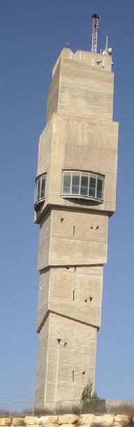 |
| Mevasseret Zion water tower |
|
|
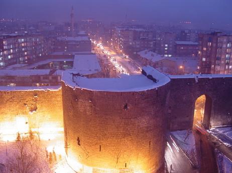 |
| ************Diyarbakir Sur Municipality and city walls************ Diyarbak is one of the largest cities in southeastern Turkey. Situated on the banks of the Tigris River, it is the administrative capital of the Diyarbak Province. With a population of about 930,000 it is the second largest city in Turkey's south-eastern Anatolia region, after Gaziantep. Diyarbakir is also a major cultural and economic center in Turkey and as such has been a focal point for conflict between Turkey's government and its Kurdish population. The earliest reference to the city comes from Assyrian records which identify it as being the capital of the Aramean kingdom of Bit-Zamani (ca. 1300 BC). In the ninth century BC, the city joined a rebellion against the Assyrian king Shalmaneser III. The city was later reduced to being a province of the Neo-Assyrian Empire. From 189 BCE to 384 CE, the region to the east and south of present Diyarbak came under the rule of the Hellenistic kingdom of Corduene. Later, the Romans colonized the city and named it Amida, after the earlier Assyrian name Amid. During the Roman rule, the first city walls were constructed (297 AD) and later, the greater walls were built as per the command of the Roman emperor Constantius II. Click the photo for more. |
|
|
 |
| Mevasseret Zion water tower |
|
|
MUNICIPALITY OF FRIENDSHIP
Can be made between peoples of real peace. Arie and both Turkish and Kurdish could be fused Israelis with human can create the optimal environment for municipal presidents or political stressed may be more useful.
Culture-the-art sports between the two municipalities and that they aim at improving the economic cooperation and acquainted with displaced people said it could be done. Click here for more Info.
|
Ra'anana, Israel
Michael Moved on July 28, 1990
|
 |
| Ra'anana is a city in the heart of the southern Sharon Plain of the Central District of Israel with a population of 80,000, as of 2014. Ra'anana is bordered by Kfar Saba on the east and Herzliya on the southwest. Moved on July 28, 1990 Click photo for Map... |
|
|
 |
| Panorama of Ra'anana Click the photo for City of Ra'anana Israel English website |
|
|
Safed, Hazafon, Israel
Michael Moved on August 20, 1985
|
 |
| Safed is a city in the Northern District of Israel. Located at an elevation of 900 metres, Safed is the highest city in the Galilee and in Israel. Due to its high elevation, Safed experiences warm summers and cold, often snowy, winters. Click photo for map... |
|
|
Hazafon, Israel
The Northern District (Hebrew: מחוז הצפון, Mehoz Hatzafon; Arabic: منطقة الشمال, Minṭaqat ash-Shamal) is one of Israel's six administrative districts. The Northern District has a land area of 4,478 km², which increases to 4,638 km² when both land and water are included. The district capital and largest city in the North District is Nazareth.
The Golan Heights has been run as a sub-district of the North District of Israel since the 1981 Golan Heights Law was passed, although the law is not internationally recognized, and the unenforced United Nations Security Council Resolution 497 declared the annexation invalid. Excluding the Golan Heights, which covers a land area of 1,154 km², the Northern District covers 3,324 km² (3,484 km² including water)
|
 |
| Safed, A Places To Visit In Israel. Click the photo for more Info... |
|
|
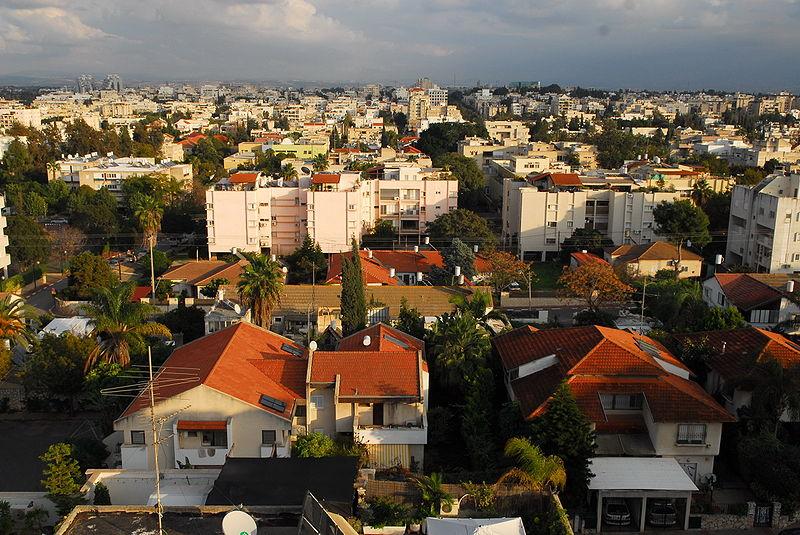
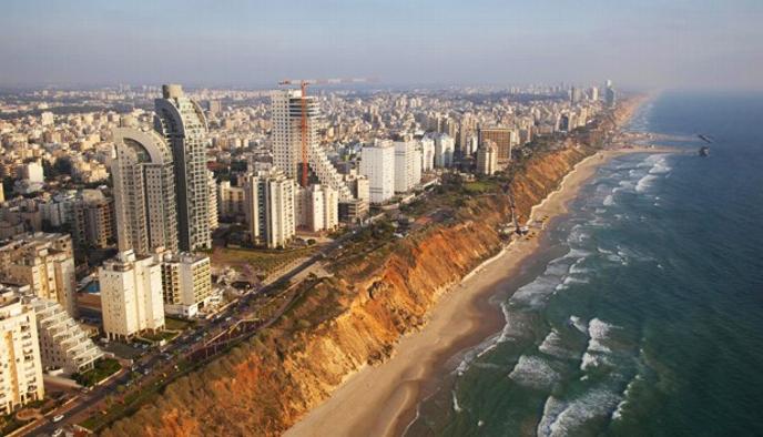
Petah Tiqva, Israel
Michael Moved in 1971
|
 |
| Petah Tikva, Israel known as Em HaMoshavot, is a city in the Central District of Israel, 10.6 km east of Tel Aviv. Click the photo for map... |
|
|
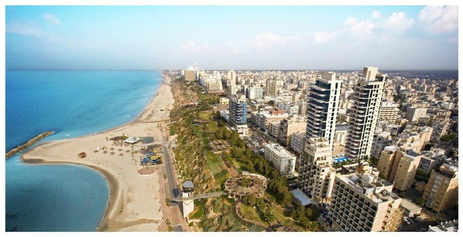
Netanya, Israel
Michael Moved on September 28, 1970
|
 |
| Netanya is a city in the Northern Central District of Israel, and is the capital of the surrounding Sharon plain. Click photo for map... |
|
|
 |
| Netanya is a city in the Northern Central District of Israel. According to the Israel Central Bureau of Statistics (CBS), at the end of 2014 the city had a total population of 202,428. An additional 150,000 people live in the local and regional councils within 10 kilometres (6 miles) of Netanya which serves as a regional center for them. The city mayor is Miriam Feirberg. The city is expected to reach a population of 350,000 by 2020. |
|
|
History
The idea to create the settlement of Netanya was drawn up at a meeting of the Bnei Binyamin association in Zikhron Ya'akov. The location was decided upon near the ancient site of Poleg, and it was decided to name it in honor of Nathan (Hebrew: Natan) Straus (1848–1931), co-owner of Macy's department store, New York City Parks Commissioner, and president of the New York City Board of Health, who gifted two-thirds of his personal fortune to projects benefiting Jewsand Arabs in Palestine. "Netanya...was named for Straus in the hope he would donate money to them. When he told them he had no more money to give they were disappointed, but decided to keep the city's name anyway." In 1928 members of Bnei Binyamin and Hanote, an organisation set up after Straus was informed of the establishment of the settlement, are said to have purchased 350 acres (1.4 km) of Umm Khaled lands. There remains today, however, considerable controversy among Palestinian and Israeli interpretation about whether land was sold (primarily from non-resident Arab land holders) during the British Mandate.
On December 14, 1928 a team led by Moshe Shaked began digging for water at the site, finding it in February 1929. Subsequently, on February 18, 1929, the first five settlers moved onto the land, plowing and cultivating it for the first time. In the weeks that followed, more settlers began arriving. The land was divided between the settlers in June 1929 as slowly the vision of the settlement became reality. Development was set back, however when the 1929 Palestine riots and massacre of Jews caused the settlement to be abandoned for a couple of weeks. By September, however, development was back on track with the cornerstones for the first 10 houses being laid on Sukkot.
|
In the following years, Netanya continued to grow, with the first kindergarten and shop opening in 1930, and the first school in 1931, by which time there were 100 settlers. In 1933, the British architect Cliff Holliday proposed a plan for Netanya to become a tourist city. Holliday also prepared urban projects in Jaffa, Tiberias, Lydda and Ramla. The first urban plan for the city, saw it being divided into three sections with a tourism district along the coastline, housing, farms and commerce in the center, and agriculture and industry to the east. 1933 also saw the completion of the Tel-Aviv Hotel, the first hotel in the city, as well as the establishment of two new neighborhoods, Ben Zion and Geva.
The moshava as it then was continued to grow in 1934, when the first ship of illegal immigrants carried 350 to Netanya's shoreline. These operations continued until 1939, with over seventeen ships landing near the city, being aided by the residents of Netanya. Whilst flourishing agriculturally, 1934 also saw the city diversify with Primazon opening the first factory there, producing fruit and vegetable preserves. Following this, the first industrial zone was set up, whilst the Shone Halahot Synagogue was built and the Bialik School, the first school, inaugurated.
As the settlement continued to grow, 1937 saw the cornerstone was laid for a new commercial center, the establishment of the Ein HaTchelet neighborhood, and the connection of Netanya to the Tel Aviv to Haifa road. In 1940, the British Mandategovernment defined Netanya as a local council of which Oved Ben-Ami was elected head of. Expansion continued after this point, with the settlement of Neve Itamar created near Netanya in 1944, later becoming a neighborhood, and the first high school opening in 1945.
|
In November 1947, an Egged bus which left Netanya for Jerusalem was attacked inPetah Tikva. In 1948, following the withdrawal of British forces from Netanya and the1948 Arab-Israeli War, a large military base was established in the city. When fighting calmed down, Netanya was designated, on December 3, 1948 a city, the first city to be designated in the newly established State of Israel. At this time, the city had 9,000 residents.
Netanya suffered from several Palestinian bombings during the Second Intifada, including the Netanya Market bombing and, in the same month, the Passover massacre which caused the death of 29 people. Such attacks were cited as justification for the construction of the Israeli West Bank barrier which has proved effective in stemming suicide attacks.
|
Welcome to Netanya
Israeli Riviera
|
Planning a vacation in Israel?
We invite you to visit one of the most beautiful cities in the Sharon and indeed in the whole of Israel. A sparkling and lively city that offers its visitors an international-style vacation. In Netanya you will find beautiful beaches, elevators taking you down to the sea, seemingly never-ending promenades, wild cliffs, rare nature reserves and green parks.
As a true resort town, you will find in Netanya plenty of entertainment, culture and leisure centers: coffee houses, a variety of restaurants, shopping centers, a lively market, movie theatres, art galleries, as well as various outdoor events and festivals that are held during summer and open to the public.
You can also enjoy the various sport activities along the beach, on offer at the sports center on the sea: the new tennis courts, paragliding, outdoor fitness facilities and the new extreme bike riding park. During the summer months watching the beach soccer league games that take place on Netanya’s Poleg Beach is a unique experience.
|
 |
| Netany, Israel the city is expected to reach a population of 350,000 by 2020. Click the photo for City Website... |
|
|
Minneapolis, Minnesota
Michael Moved on July 28, 1960
|
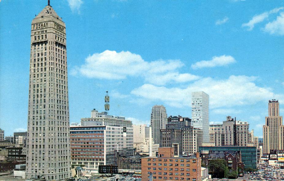 |
| Minneapolis Skyline part 1 Click the photo... |
|
|
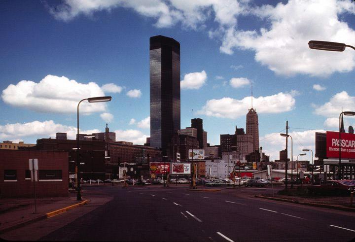 |
| Minneapolis Skyline part 2 Click the photo... |
|
|
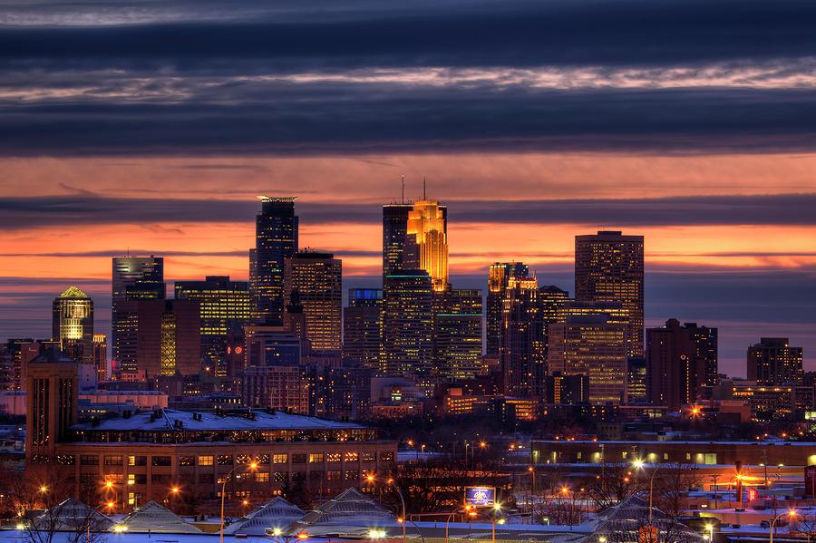 |
| Minneapolis is a major city in Minnesota that forms "Twin Cities" with the neighboring state capital of St. Paul. Bisected by the Mississippi River, it's known for its parks and lakes. Minneapolis is also home to many cultural landmarks like the Walker Art Center, a contemporary art museum, and its adjacent Minneapolis Sculpture Garden, famed for Claes Oldenburg's "Spoonbridge and Cherry" sculpture. Click the photo for the map... Minneapolis/Population 400,070 (2013) |
|
|
Minneapolis–Saint Paul is a major metropolitan area built around the Mississippi, Minnesota and St. Croix rivers. The area is commonly known as the Twin Cities for its two largest cities, Minneapolis the city with the largest population in Minnesota and Saint Paul, the state capital. It is a classic example of twin cities in the sense of geographical proximity. Together the two cities anchor the second-largest economic center in theMidwest, behind Chicago.
There are several different definitions of the region. Many refer to theTwin Cities as the seven-county region which is governed under theMetropolitan Council regional governmental agency and planning organization. The United States Office of Management and Budgetofficially designates 16 counties as the Minneapolis-St. Paul–Bloomington MN-WI Metropolitan Statistical Area, the 16th largest in the United States. The entire region known as the Minneapolis-St. Paul MN-WI Combined Statistical Area, has a population of 3,797,883, the14th largest, according to 2013 Census estimates.
|
 |
| Minneapolis and St Paul Winters |
|
|
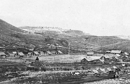
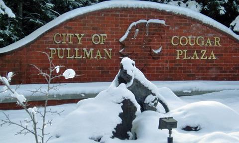
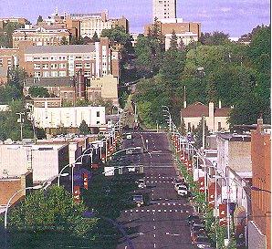
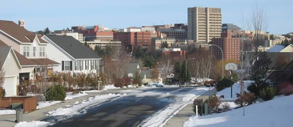
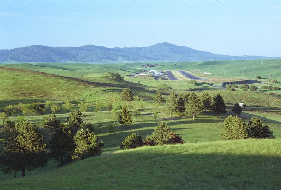
Pullman, Washington
Michael Moved on July 28, 1959
|
Pullman is the largest city in Whitman County, located in southeastern Washington state. The population was 29,799 at the 2010 census, estimated to have reached 31,682 in 2014. Originally incorporated as Three Forks, the city was later renamed after industrialist George Pullman. Pullman is located in the Palouse region of the Pacific Northwest, a vastly fertile agricultural area known for its many miles of rolling hills and the production of wheat and legumes. It is best known as the home to Washington State University, a public research land-grant university, as well as the international headquarters of Schweitzer Engineering Laboratories. Pullman is located eight miles (13 km) from Moscow, Idaho, home to the University of Idaho, and is served by the Pullman-Moscow Regional Airport. In 2011 Bloomberg Businessweek selected Pullman as the "Best Place to Raise Kids" in Washington. Factors included affordability, safety, a family-friendly lifestyle, the quality of Pullman High School, the presence of Washington State University, and the natural beauty of the area.
|
City of Pullman, Washington
|
 |
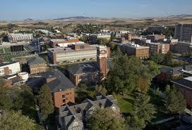
| Washington State University, Click Photo for City's Website.... |
|
|
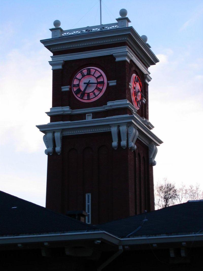 |
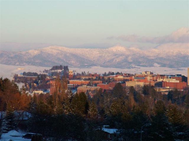
| Bryan Tower on the Pullman WSU campus at twilight. Click photo for map... |
|
|
 |
| Pullman-Moscow Regional Airport |
|
|
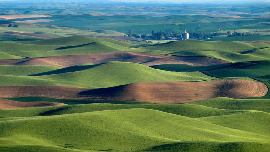 |
| Surrounding Palouse hills |
|
|
 |
| Holon is a city on the central coastal strip south of Tel Aviv, Israel. Holon is part of the metropolitan Gush Dan area. In 2011, it had a population of 182,575. Holon has the second-largest industrial zone in Israel, after Haifa. Click Photo for map... |
|
|
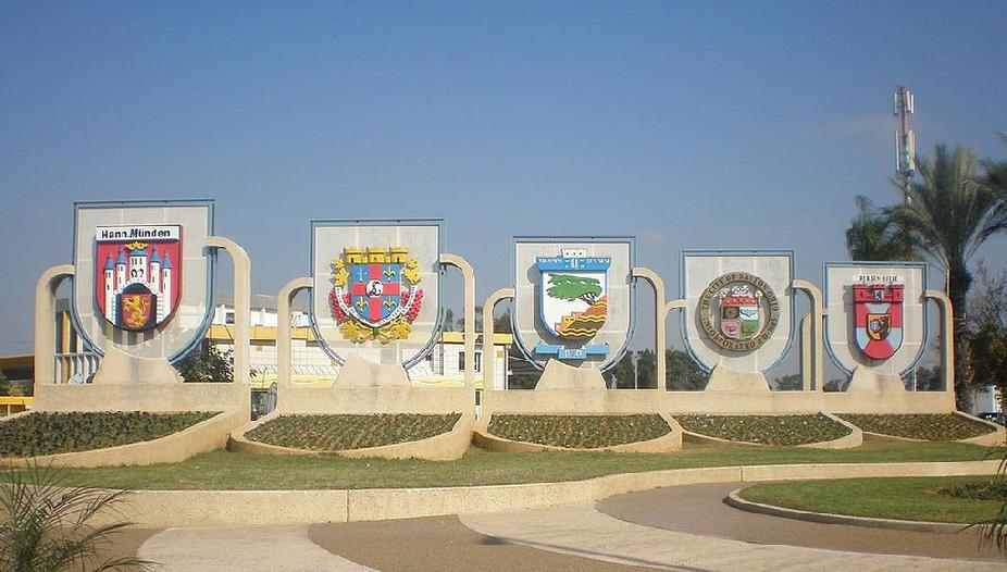 |
| Sister city shields at the city entrance |
|
|
 |
| Holon's Samaritan synagogue |
|
|
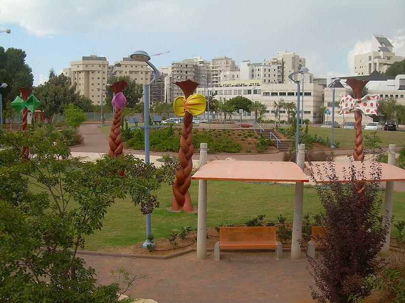 |
| Children's Park in Holon, Geography of Israel |
|
|
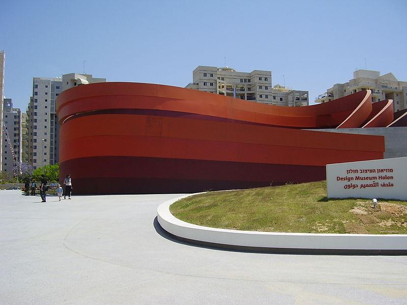 |
| Design Museum Holon |
|
|
|
 |
| Holon (Hebrew: is a city on the central coastal strip south of Tel Aviv, Israel. Holon is part of the metropolitan Gush Dan area. In 2011, it had a population of 182,575. Holon has the second-largest industrial zone in Israel, after Haifa. Click photo for City Website... |
|
|
History
Holon was founded on sand dunes six kilometers (3.7 miles) from Tel Aviv in 1935. The Łódzia textile factory was established there by Jewish immigrants from Łódź, Poland, along with many other industrial enterprises. In the early months of the 1948 Arab–Israeli War, Holon was on the front line, with constant shooting taking place on the border with the village of Tel A-Rish to its northwest—a suburb of Arab Jaffa—and clashes also in the direction of the town of Yazur to the east. An attack by the Holon-based Haganah militia units on Tel A-Rish was repulsed with considerable losses. After the establishment of the state, Holon expanded to include Tel A-Rish (renamed "Tel Giborim", "The Mound of the Heroes") and the orange groves of Yazur.
In February 2001, eight Israelis were killed and twenty-five were injured in a Palestinian attack on a crowded bus stop in Holon.
The image of Holon as a working-class bedroom community has changed over the years. Through municipal efforts, the city has been rebranded as a child-friendly city, offering family attractions such as the Yamit Water Park, the Israeli Children's Museum and the Israel Museum of Caricature and Comics.
Urban development
Historic landmarks in Holon slated for preservation include Derech Habitachon ("Safe Road"), paved during the Israeli war of independence; water towers in the Moledet and Azor neighborhoods; Hosmasa, a building used by the Haganah; the pillbox guard post; Stroma Square, Mansbach health clinic, Hameshakem building, the Agrobank neighborhood and two schools – Bialik and Shenkar. A new neighborhood, Migdalim Bashdera, is under construction, with plans for 23 upscale residential towers, a new city hall, several cultural and commercial centers, some of them already built. A French urban planner was commissioned to design a north-south boulevard with pedestrian walks, bicycle paths, sports fields, parks and waterfalls.
|
 |
| Holon, 1945 |
|
|
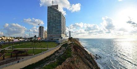
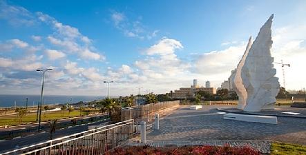
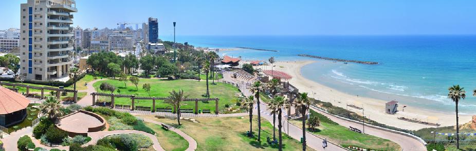
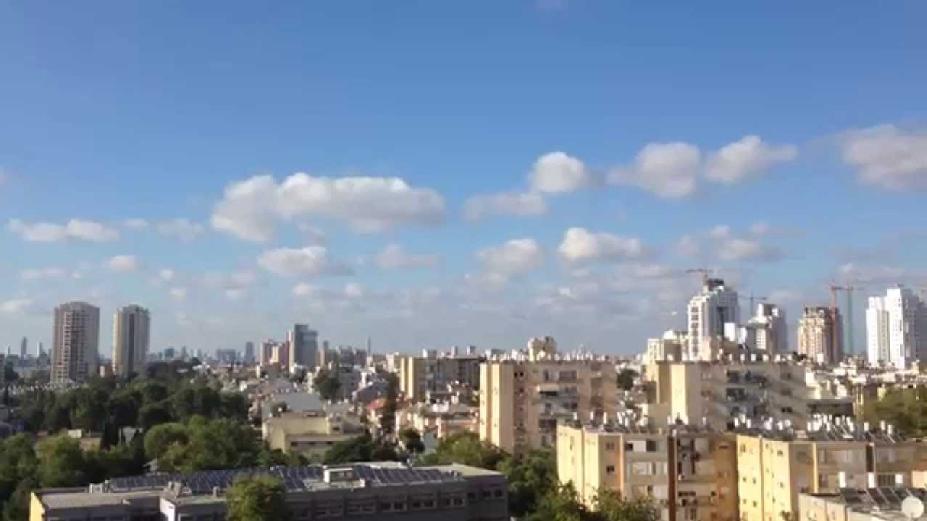
Tel Aviv, Israel
Moved on July 28, 1956
|
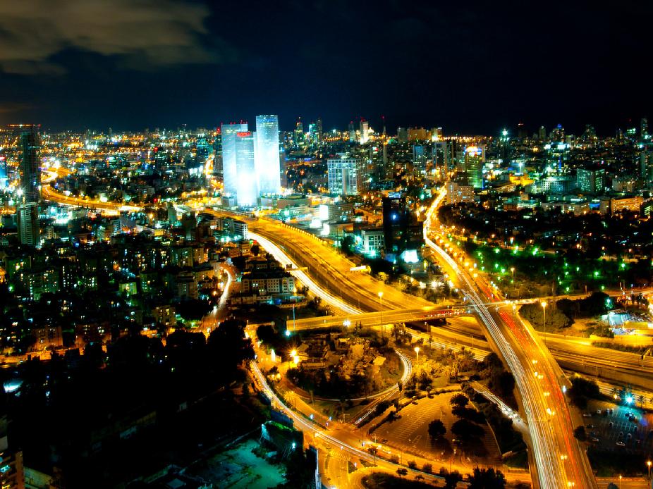 |
| Tel Aviv, a city on Israel’s Mediterranean coast, is marked by its stark 1930s Bauhaus buildings, thousands of which are clustered in the White City architectural area. The city is also known for its accessible beaches and vibrant nightlife ranging from Lilienblum Street’s lounges to Dizengoff Street’s open-air cafes. Tel Aviv Port’s waterfront promenade is lined with shops and restaurants. Click photo for map... |
|
|
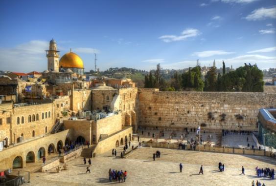
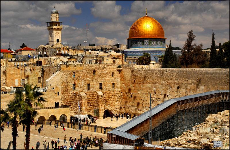
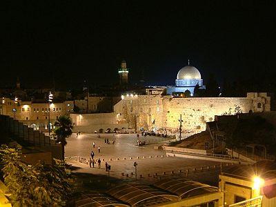
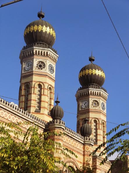
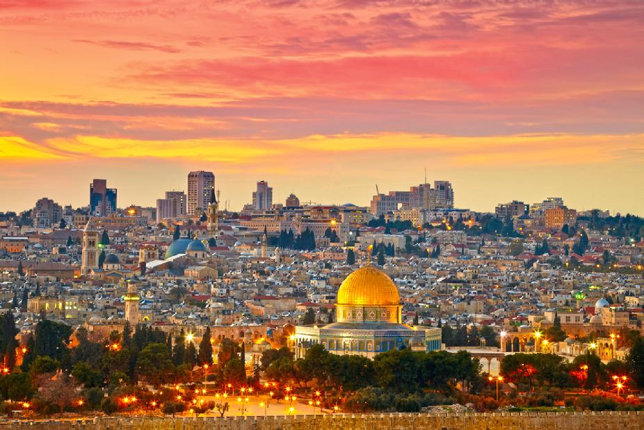
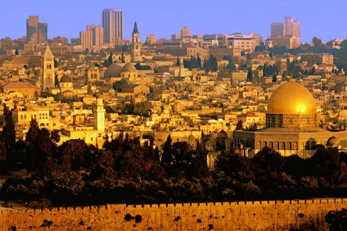
Jerusalem, Israel
Moved on July 28, 1954
|
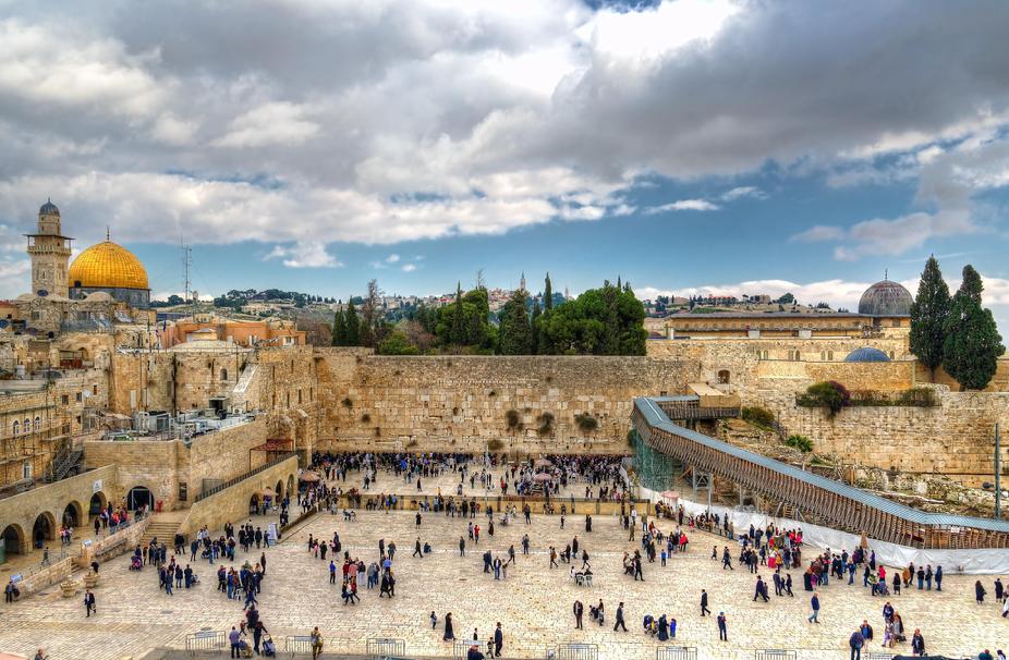 |
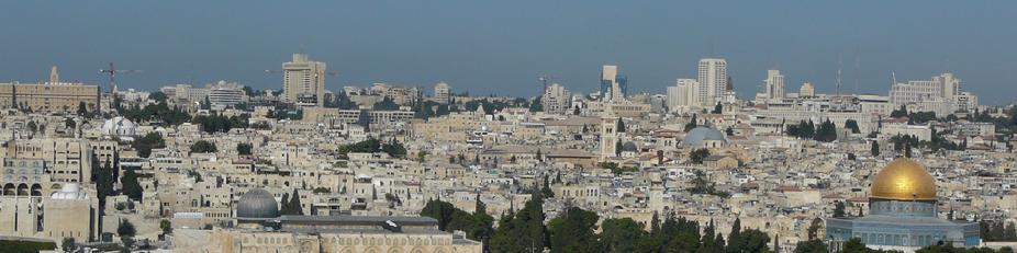
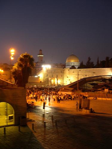
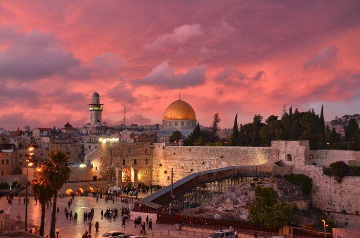
| Jerusalem, a Middle Eastern city west of the Dead Sea, has been a place of pilgrimage and worship for Jews, Christians and Muslims since the biblical era. Its Old City retains significant religious sites concentrated around the Temple Mount compound, including the Western Wall, sacred to Judaism, and the Dome of the Rock, a 7th-century Islamic shrine with a gold dome. Click photo for map... |
|
|
 |
| Jerusalem, Israel |
|
|
 |
| The part of Jerusalem called the City of David was settled in the 4th millennium BCE. Click the photo for more Info. |
|
|
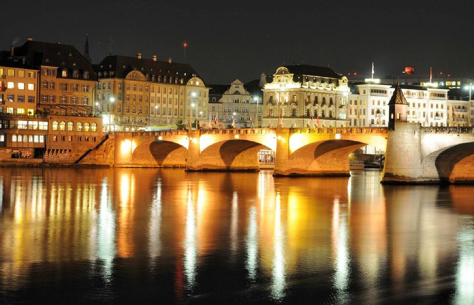
Basel, Switzerland
Moved on May 28, 1948
|
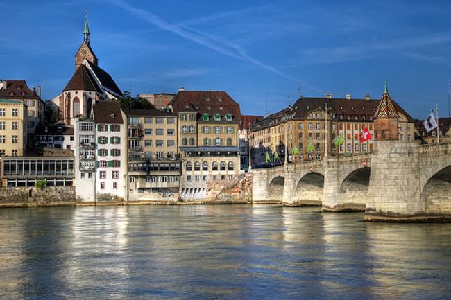 |
| Basel is a city on the Rhine River in northwest Switzerland, close to the country’s borders with France and Germany. Its medieval old town centers around Marktplatz, dominated by the 16th-century, red-sandstone Town Hall. Its 12th-century Gothic cathedral has city views, and contains the tomb of the 16th-century Dutch scholar, Erasmus. The city’s university houses some of Erasmus’ works Click photo for map.... |
|
|
| Early history:
The town of Basel was called Basilea or Basilia in Latin (from Ancient Greek Basileia,Βασιλεια meaning kingship) and this name is documented from 374 AD.
The Magyars destroyed Basel in 917, and later burnt down the monasteries of St. Gallen and Rheinau. Their incursions only ended when they were routed by the German king Otto I in 955.
Climate
Basel has an average of 120.4 days of rain or snow per year and on average receives 842 mm (33.1 in) of precipitation. The wettest month is May during which time Basel receives an average of 99 mm (3.9 in) of rain. The month with the most days of precipitation is also May, with an average of 12.4 days. The driest month of the year is February with an average of 45 mm (1.8 in) of precipitation over 8.4 days.
|
 |
| Basel, Switzerland Website click photo.... |
|
|
 |
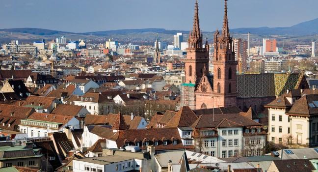
| Basel Located in northwestern Switzerland on the river Rhine, Basel functions as a major industrial centre for the chemical and pharmaceutical industry. The Basel region, culturally extending into German Baden-Württemberg and French Alsace, reflects the heritage of its three states in the modern Latin name: "Regio TriRhena". It has the oldest university of the Swiss Confederation (1460). The official language of Basel is (the Swiss variety of Standard) German, but the main spoken language is the local variant of the Alemannic Swiss German dialect. Basel is among the most important cultural centres of Switzerland. The city comprises a large number of theatres and museums, including the Museum of Fine Arts, the world's oldest art collection accessible to the public. In addition, the Theater Basel was chosen in 1999 as the best stage for German-language performances and in 2009 and 2010 as "Opera of the Year" by German Opera Magazine "Opernwelt" |
|
|
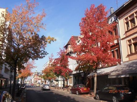
| Basel and environs, around All Saints Day 2014 |
 |
| If you’re in the mood to get dressed up in Basel, and you want to find like minded people who are also into Halloween, you either need to go to someone’s private Halloween party or to a bar. There are lots of private parties, but generally you’ll need to be invited to one of these, or host one yourself, so I’ll focus on public Halloween fun. There are several bars that have Halloween events every year. For years like 2014 and 2015, when Halloween (Oct 31) falls on a Friday or a Saturday, this will generally be when the party is. If Oct 31st falls from Sunday-Thursday, the bars will usually have their Halloween events the weekend before. Most of the bar managers within an area know each other and discuss if the party will be on Friday or Saturday night, so that once you’re out and dressed up, you can go to a few different places on the same night. In a lot of bars, if you dress up you get one free drink (sometimes your choice, sometimes a special Halloween cocktail), but they’ll usually let you know that when you come in. |
|
|
 |
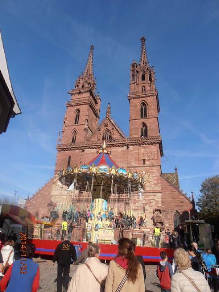
| The Herbstmesse at the Basel Cathedral. |
|
|
|
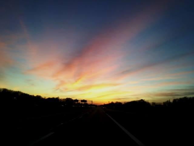 |
| Sunset colors on the La Comtoise highway in Mulhouse (A36) |
|
|
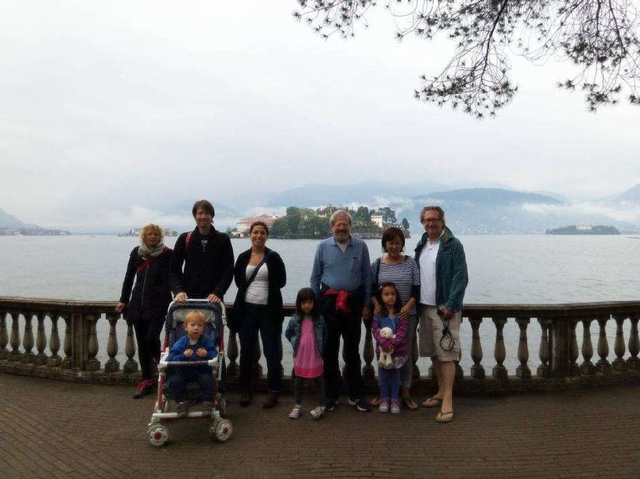 |
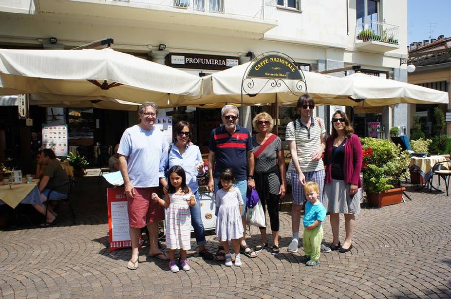
| Famiy picture June 2, 2015 with Isola Bella in the background — Edna, Haggai, Adva Guggenheimer and Yasmin De Ocampo Guggenheimer. |
|
|
|
Click to enlarge photos...
|
 |
| Mirit Guggenheimer, Yair Guggenheimer and Michael Guggenheimer |
|
|
 |
| With Mirit Guggenheimer. 2008 |
|
|
 |
| In Mevasseret Ziyyon, Yerushalayim, Israel April 2015 |
|
| |
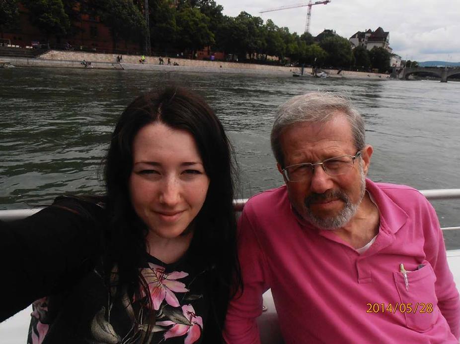 |
| On the Rhine ferry with Mirit Guggenheimer in Basel, Switzerland |
|
|
Click the photo for Michael's Facebook page!
|
انقر على الصورة ل صفحة
الفيسبوك مايكل
'unqur ealaa alssurat l safhat alfaysabuk maykil
|
 |
| Thanks for stopping by today |
|
|
شكرا ل زيارتكم اليوم
shukraan l ziaratukum alyawm
|
 |
| Previous Page |
|
| <- Senior Class ->
Minneapolis North High School
Class of 1966 - Index page
|
 |
| Next Page |
|
|
|
|
 |
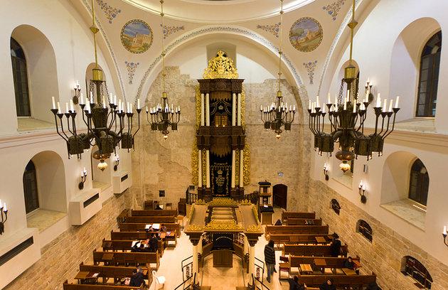
| Istambuli synagogue |
|
|
|
 |
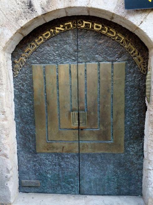
| Arab market |
|
|
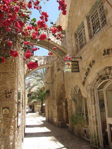 |
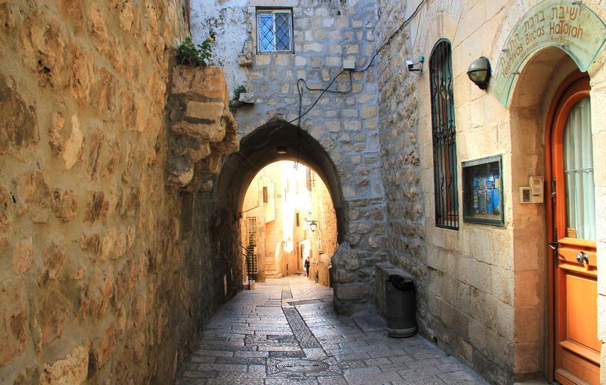
| Jewish Quarter |
|
| |
|
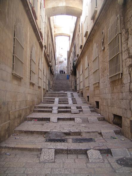
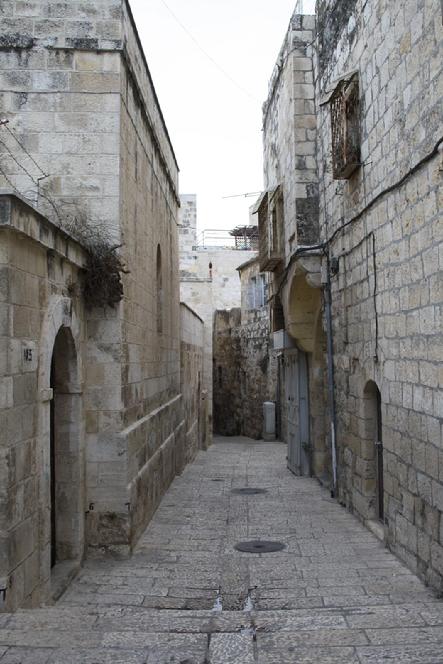
The Old City is a 0.9 square kilometers walled area within the modern city of Jerusalem. Until 1860, when the Jewish neighborhood Mishkenot Sha'ananim was established, this area constituted the entire city of Jerusalem.The current population of the Old City resides mostly in the Muslim and Christian quarters. As of 2007 the total population was 36,965
|
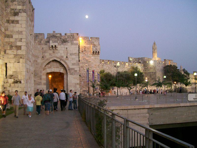 |
| Jaffa Gate |
|
|
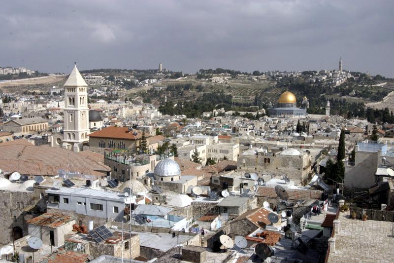 |
| The Old City in Jerusalem with Mount Scopus and the Mount of Olives. |
|
|
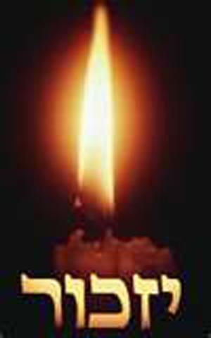
THE ACTION IN THE GHETTO OF ROHATYN, MARCH 1942.
by Alexander Kimel- Holocaust Survivor.
|
Do I want to remember?
The peaceful ghetto, before the raid:
Children shaking like leaves in the wind.
Mothers searching for a piece of bread.
Shadows, on swollen legs, moving with fear.
No, I don’t want to remember, but how can I forget?
Do I want to remember, the creation of hell?
The shouts of the Raiders, enjoying the hunt.
Cries of the wounded, begging for life.
Faces of mothers carved with pain.
Hiding Children, dripping with fear.
No, I don’t want to remember, but how can I forget?
Do I want to remember, my fearful return?
Families vanished in the midst of the day.
The mass grave steaming with vapor of blood.
Mothers searching for children in vain.
The pain of the ghetto, cuts like a knife.
No, I don’t want to remember, but how can I forget?
Do I want to remember, the wailing of the night?
The doors kicked ajar, ripped feathers floating the air.
The night scented with snow-melting blood.
While the compassionate moon, is showing the way.
For the faceless shadows, searching for kin.
No, I don’t want to remember, but I cannot forget.
Do I want to remember this world upside down?
Where the departed are blessed with an instant death.
While the living condemned to a short wretched life,
And a long tortuous journey into unnamed place,
Converting Living Souls, into ashes and gas.
No. I Have to Remember and Never Let You Forget.
|
|
| Previous Page |
|
| <- Senior Class ->
Minneapolis North High School
Class of 1966 - Index page
|
|
| Next Page |
|
|
 |
| Seniors Index Class of 66' |
|
|
 |
| Send in Your Biography |
|
|
 |
| Home Page |
|
|
|